The Söderberg Expedition: The Bronze Age City of Hala Sultan Tekke, Cyprus
Short description
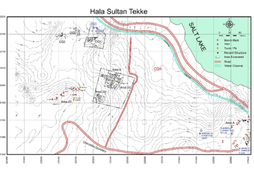
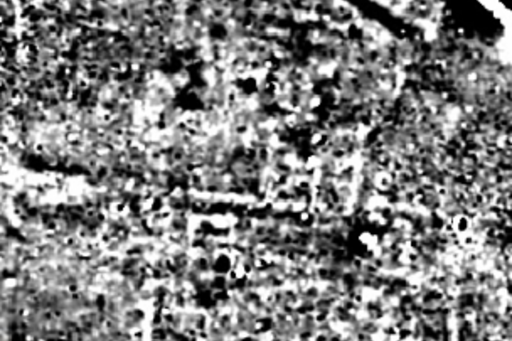
In the years 2010 to 2019, the Söderberg Expedition carried out excavations at the harbour city of Hala Sultan Tekke, Cyprus (near modern Larnaca). The city has a likely size of 25–50 hectares which makes it one of the largest Bronze Age cities of the Mediterranean. It flourished 1650–1150 BC. Trade with Egypt, the Levant, Anatolia, Greece / Crete and Sardinia was the backbone of the city's economy which was based on locally produced copper and purple-dyed textiles. Geophysical surveys of 23 hectares led to the discovery of the hitherto largest interconnected city quarter (CQ4): a rectangular street system leading to the nearby port connects massive buildings of stone of an obviously administrative compound.
The Söderberg Expedition: The Bronze Age city of Hala Sultan Tekke
Area of excavations
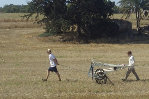
Ten seasons of excavations at the Bronze Age harbour city of Hala Sultan Tekke have been carried out under the supervision of Professor P.M. Fischer from the University of Gothenburg, Sweden. The city which flourished from 1650–1150 BCE is between 25 and 50 hectares large which makes it one of the largest in the Mediterranean. Based on geophysical surveys with magnetometers and georadar excavations concentrated on four city quarters (CQ1–4) and the extraurban cemetery (Area A, Fig. 1).
Results
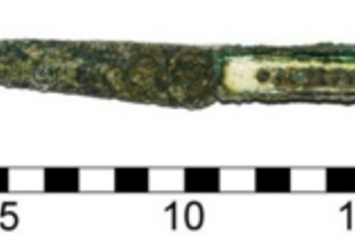
CQ1 is an industrial city quarter with domestic architecture and workshops for the production of copper (Figs. 2, 3) and purple-dyed textiles.
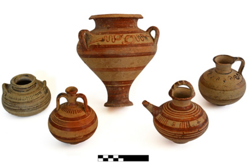
In CQ2, too, copper was produced but the manufacture of purple-dyed textiles dominates (Fig. 5).
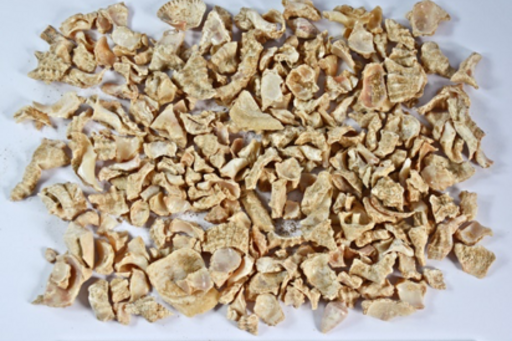
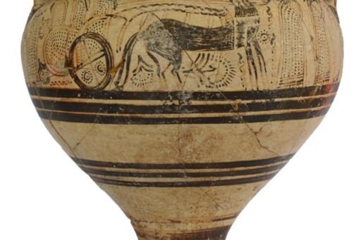
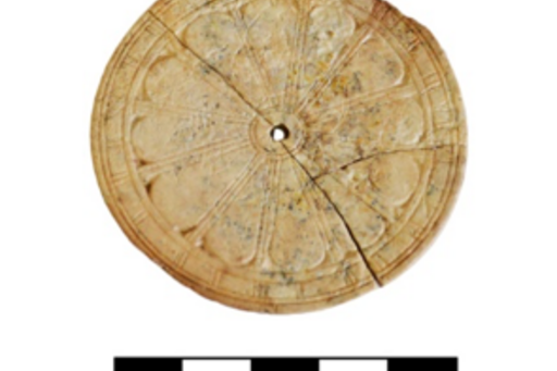
CQ3 is only partly excavated. There are many imported finds mainly form the Mycenaean sphere of culture and Egypt.
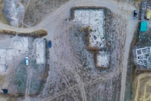
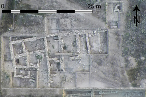
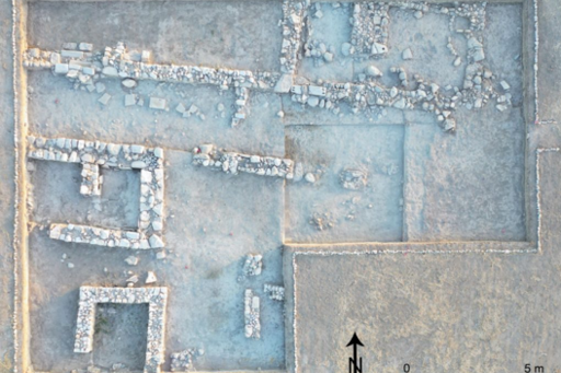
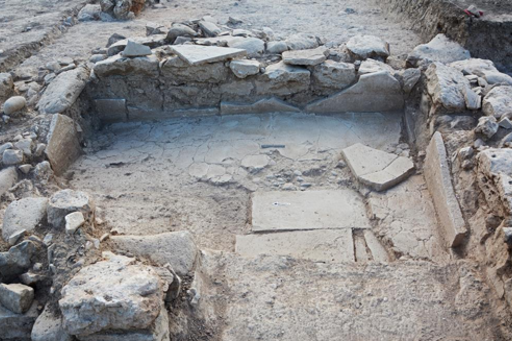
CQ4 seems to be an administrative quarter with massive structures of stone according to the results from our geophysical surveys (Figs. 7–11).
In CQ4 a bathroom built of ashlar blocks with an advanced hydrotechnical installation was found.

Area A
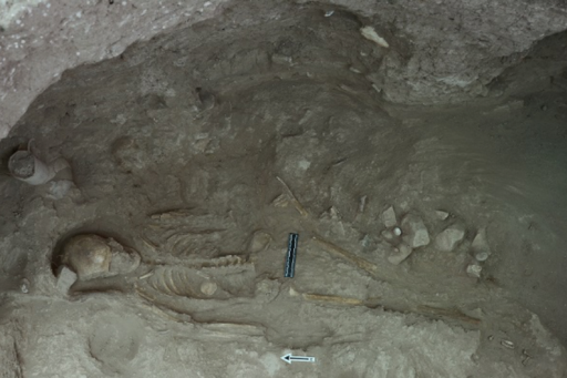
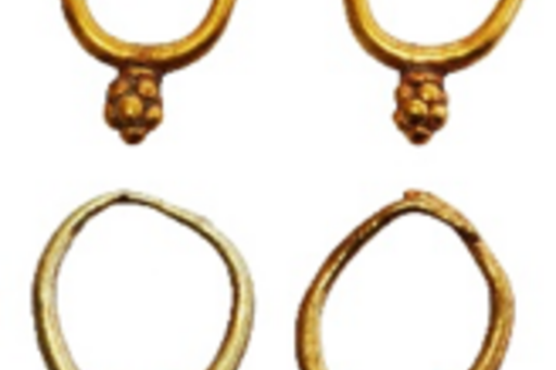
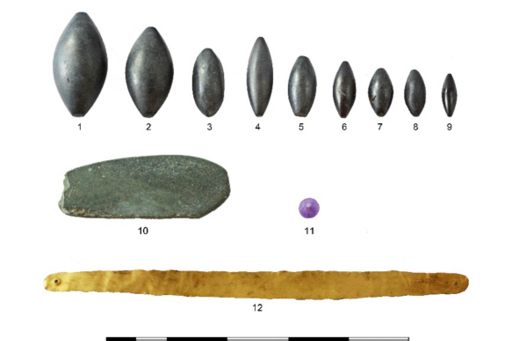
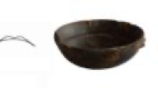
The extraurban cemetery (Area A) is east of the city (Fig. 1). It is one of the richest on the island with numerous tombs and offering pits. Imported tomb gifts and offered items came from a vast area: from Sardinia to Mesopotamia, and from Anatolia to Egypt. Tomb RR, for instance contain the burials of 38 individuals (state 2019, not completely excavated) and rich tomb gifts.