Paleoglaciology of the Scandinavian Ice Sheet (and the meaning of murtoos)
Short description
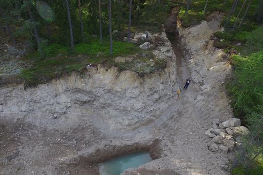
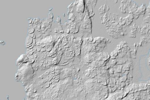
The landscape of Scandinavia is replete with landforms left from the last glaciation (and to previous glaciations). Although these features have been mapped for over a century, the introduction of Light Detection and Ranging (LiDAR) elevation models has revealed these forms as well as new forms in much greater detail. In this project, geomorphic mapping using LiDAR also has revealed extensive hummock corridors hitherto unrecognized but implying a much greater role for subglacial meltwater in shaping the deglacial landscape. The new glacial landform, murtoo, also discovered during this project (and by colleagues in Finland), sheds a light on the evolving subglacial conditions during deglaciation as the ice sheet melted away. The landscape of Sweden can serve as an analogue to those produced by melting modern ice sheets.

